The Turkey Learning Curve Begins
The package from the National Wild Turkey Federation( NWTF) arrived this week. And so it begins – LOL. If you kept up with the blog during SHOT week, you saw that by attending a press conference of the NWTF, I won a door prize of a set of calls. This was improbably fortuitous, as I have stated that learning to call and hunt turkey was a personal goal for 2018.
I eagerly tore open the box on my doorstep, and dug out the contents, consisting of a box call, a slate call, and a mouth call from Zink calls ,plus a NWTF ball cap! I have no experience whatsoever with calling turkey, so this is going to be an interesting endeavor. Fortunately, the slate call came with a learning DVD. Seeing as how I am not a party-girl, the DVD became my recent Friday night entertainment. Between the DVD, and the free app I found elsewhere for my phone, I’ve got a decent idea what things are supposed to sound like. Now the trick will be learning to duplicate those sounds. This will be like learning to play a musical instrument!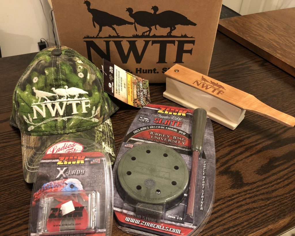
Another perk that I got from SHOT was a coupon for a map from MyTopo.com Big deal, you say? Well, the place where I would like to hunt is family property that came to my father a few years before he died. I am currently the only living family member who has been there, and only twice, and that was two years ago. I have a small map that I printed from Google earth, and a tax map, but that’s it – for a property that covers about 120 acres.
I used the coupon from MyTopo.com to generate a personalized map of the area to my specifications. I wasn’t limited to piecing together USGS quadrangles. I chose the area to be covered, the resolution, whether I wanted satellite, aerial, or topographic images, or a combination of those. I was also able to choose whether to include private property lines and public property lines, how large I wanted my map to be, and whether I wanted it folded or rolled. It was a very easy process, and they shipped the map to my door. This is going to be a very useful tool for plotting where to do my turkey scouting, and I can’t recommend this service highly enough.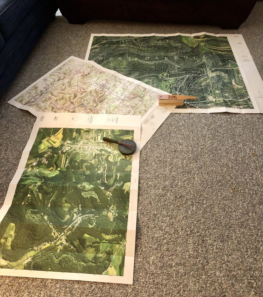
I have never had a cartography class, nor a land navigation class – not even in Girl Scouts back in the Stone Age when I was young. I do at least recognize the directions, know what a legend is, and what contour lines are for, but that’s about it. So, I also downloaded a few pages from the USGS – United States Geological Survey – which explains topographic map symbols.
Being only 120 acres or so, this property is hard to get lost on, but I’d still like to have a map to refer to. I’d also like to gain enough map-reading skill that I am not quite as bad as the proverbial second lieutenant that my military vet friends joke about. MyTopo.com, has given me a boost in that direction.
Thanks to the NWTF and MyTopo.com, I’ve got a leg up on my new turkey journey. Please come along for the ride, while I continue to “Never Stop Learning”!